|
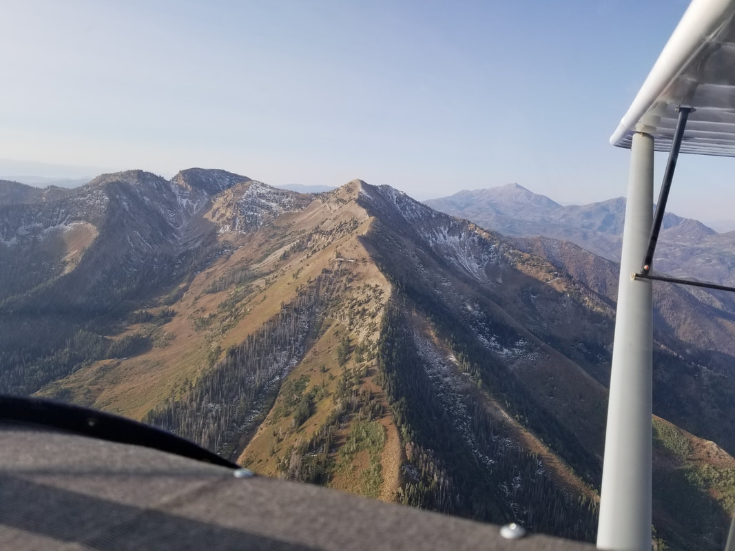
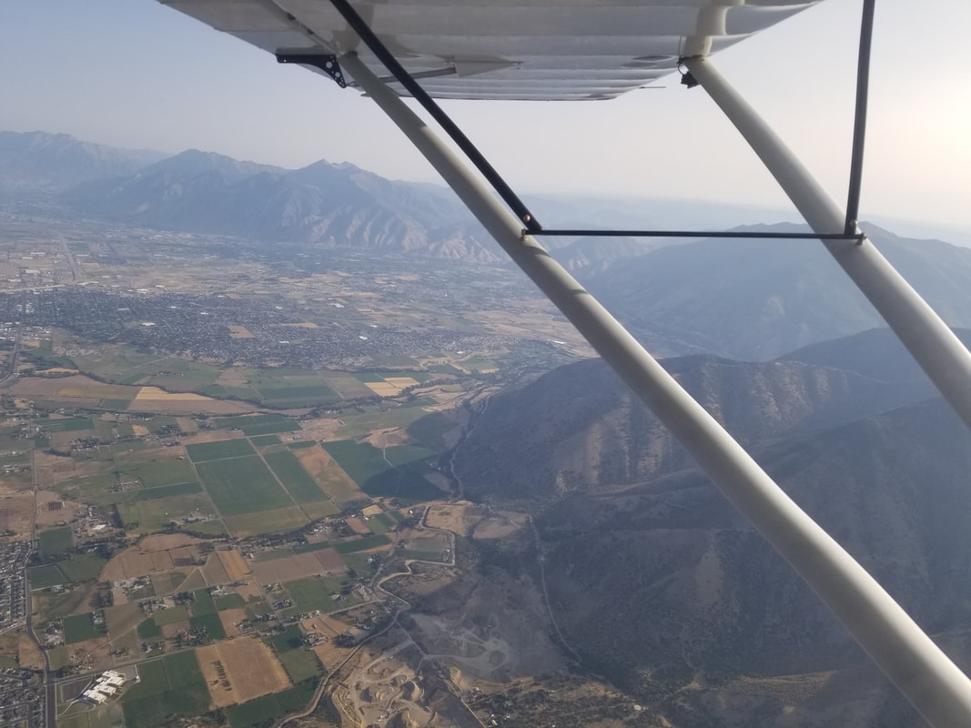
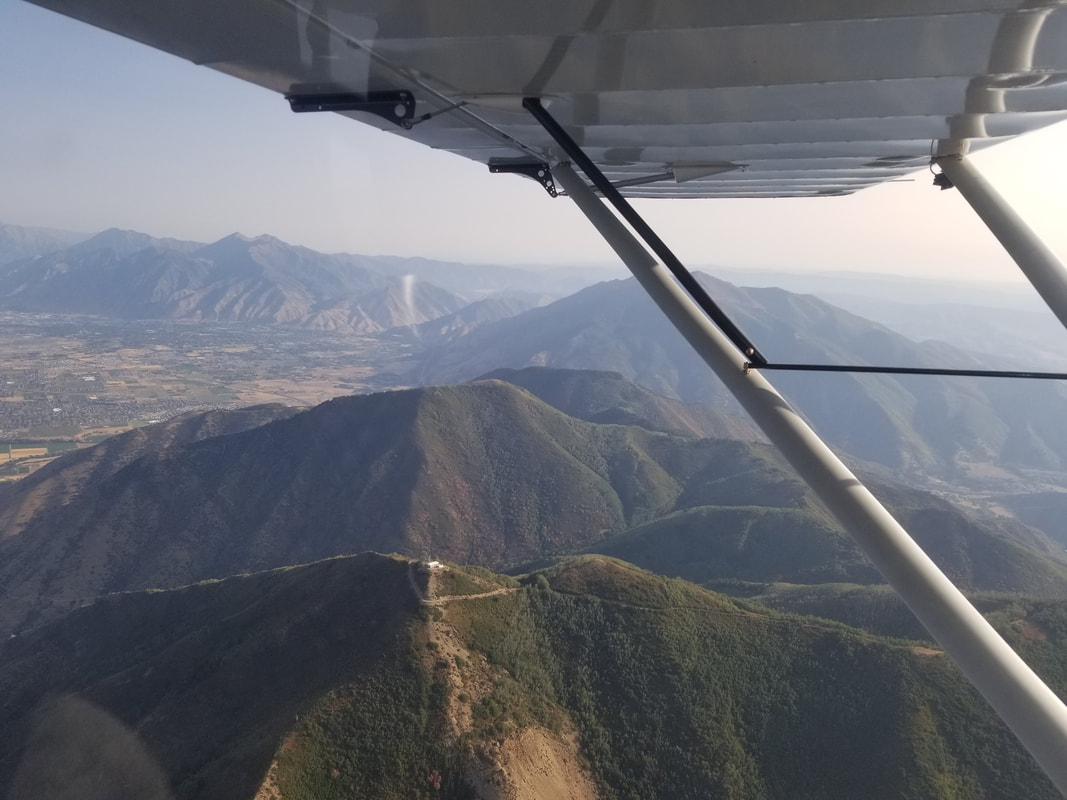
It’s a great day any time I can be in the mountains. It’s a great day when I fly. It’s a fantastic day any time I can combine the two. And, it’s the absolute best when I can combine the two, plus camp! Let me tell you about a fantastic day I had in the Utah backcountry. As you may remember from previous posts, it’s often hard to find flight schools that allow you to take their aircraft to unpaved airstrips. I have a solution for you. Give the West Desert Aviators a call next time you’re in the area: https://www.wdaviators.com/. My partners in crime were Matthew Kalm and a Rans Coyote S-6S although Mark and Alina Pringle also came along in their own Rans. Utah has over 75 backcountry airstrips. Yes, you read right! It’s not a typo! So, on this trip, we just barely touched the surface of what’s available in the Beehive State. “Elsewhere the sky is the roof of the world; but here the earth was the floor of the sky” – Willa Cather. The route was West Desert Airpark (UT9)-Cedar Mountain-Mexican Mountain-UT9. Neither of the backcountry airstrips have FAA identifiers and the best information (including recent condition reports although keep in mind these, like some PIREPs, are somewhat subjective) about them can be found on the Utah Back Country Pilots Association (UBCP) website: https://utahbackcountrypilots.org/. UBCP also organizes work parties and fly-outs to UT backcountry airstrips. It’s a fantastic organization. 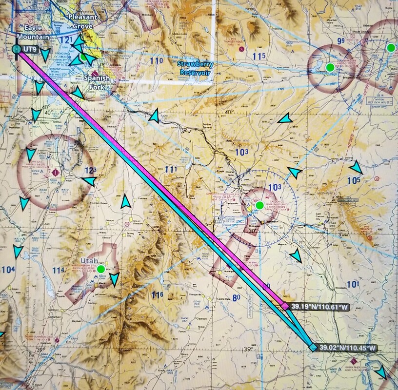 Source: ForeFlight As typical backcountry airstrips, neither of these airstrips have any services so keep that in mind when planning your route: no restrooms, no water, no weather info, no lights, no cell phone service, and no fuel! Both have windsocks though and do use them! We start heading southeast out of UT9, across Utah Lake and over the Mount Nebo Range.
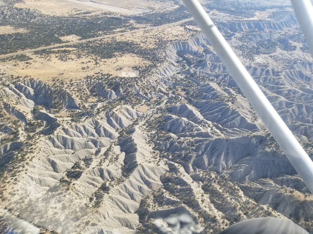
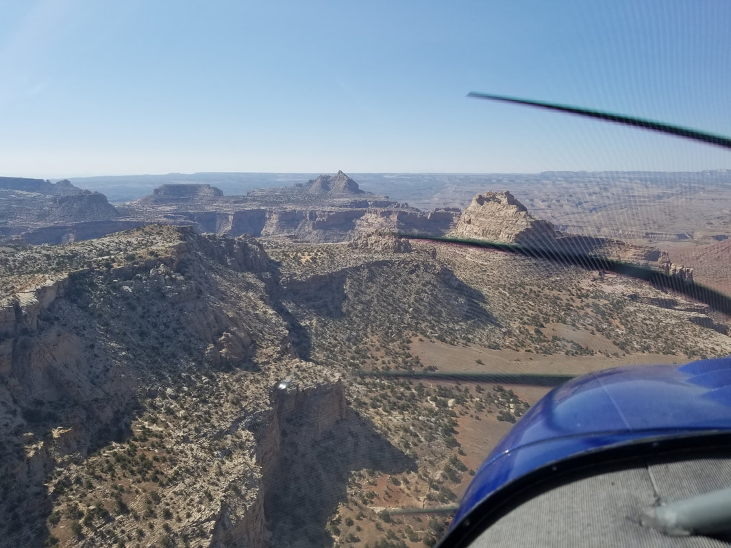
We then flew over the Wasatch Plateau and Huntington before reaching Cedar Mountain.
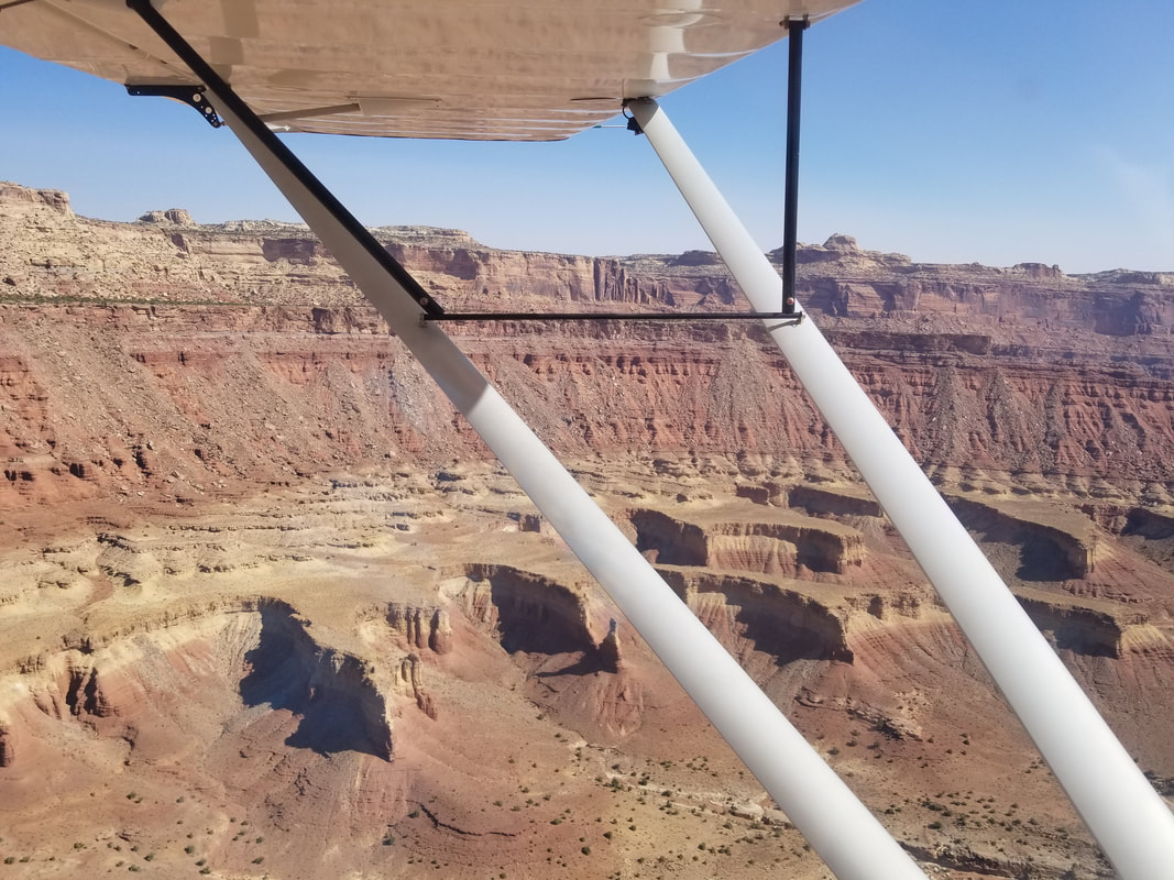
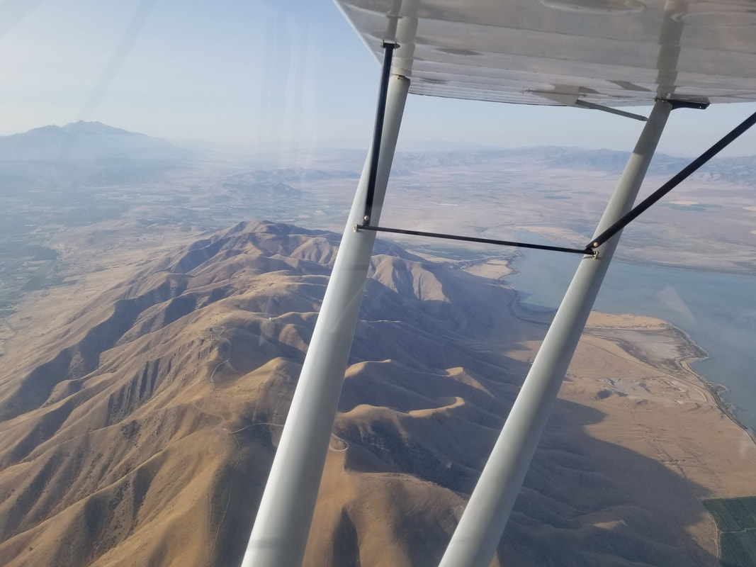
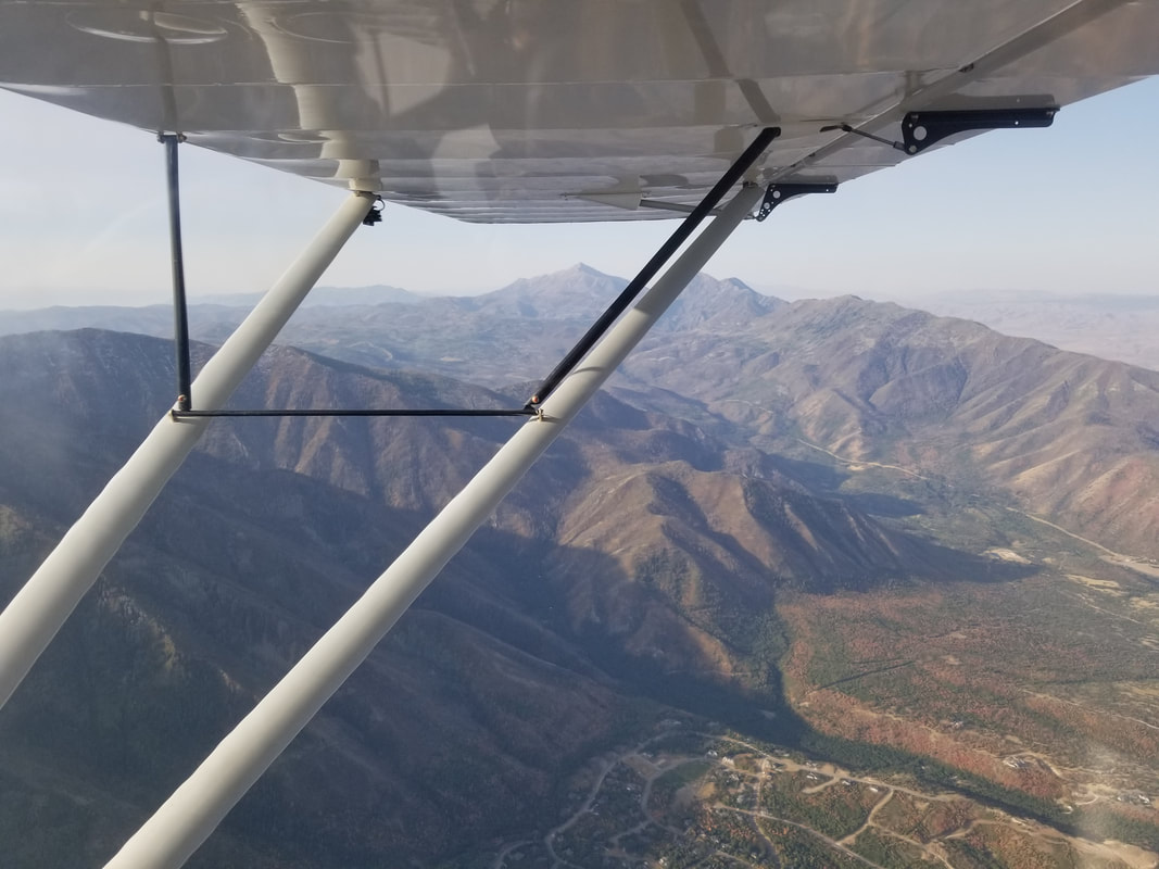
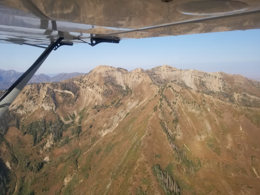
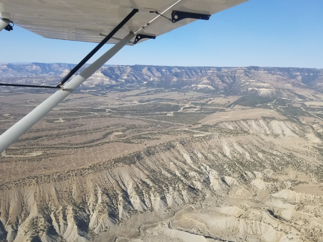
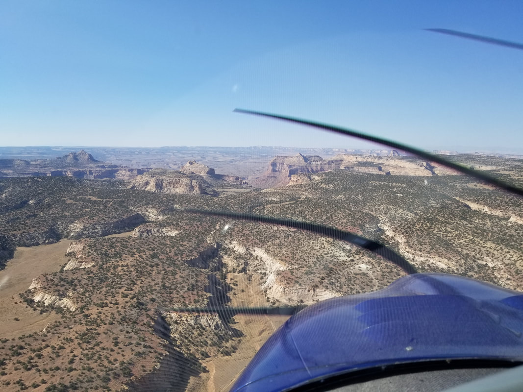
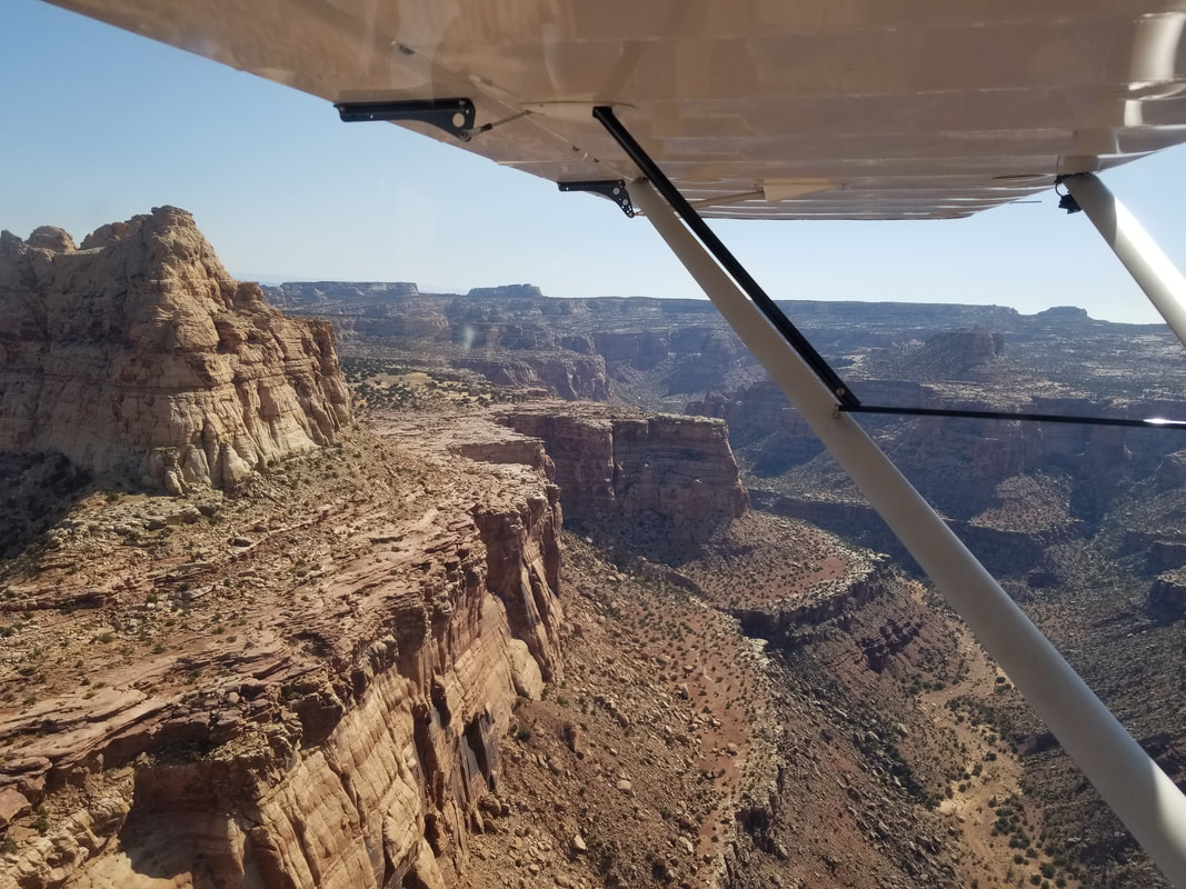
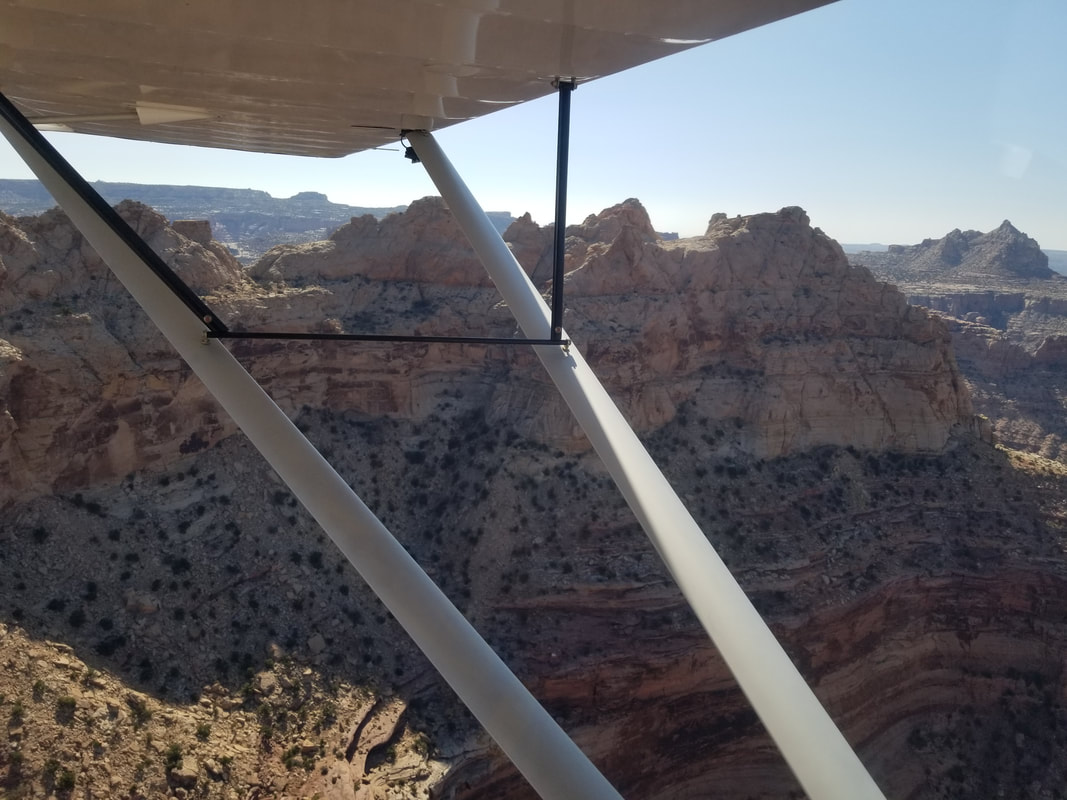
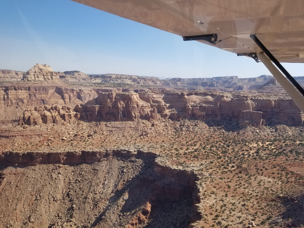
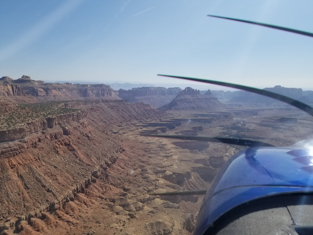
You can see in the sectional there are some significant contours, mountain elevations, and peaks along the route but nothing we couldn’t go over or around. Cedar Mountain has an elevation of 7,538 ft and its dirt runway 15/33 is 2,050 x 47 ft. Often times, leaving these airstrips is harder than coming in due to density altitude. The wind was fairly calm but a recon flight over the airfield did show the windsock favoring Runway 15. 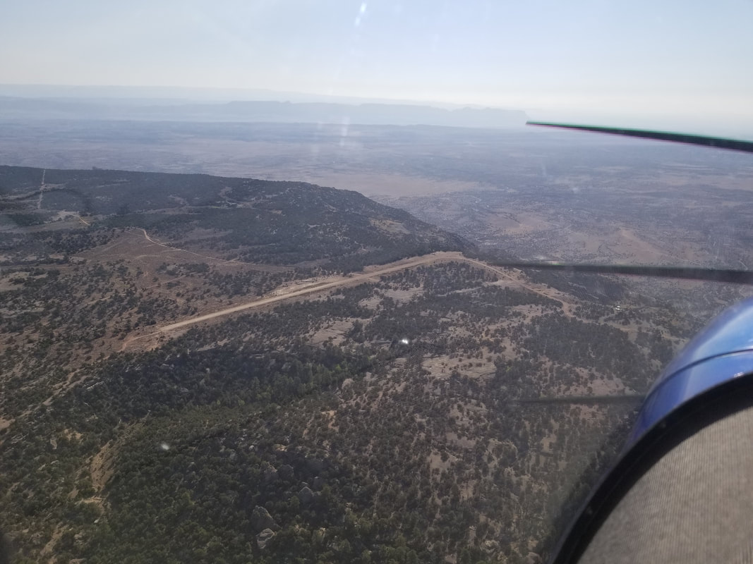 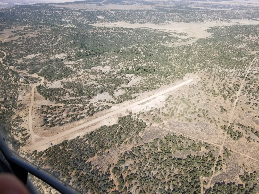 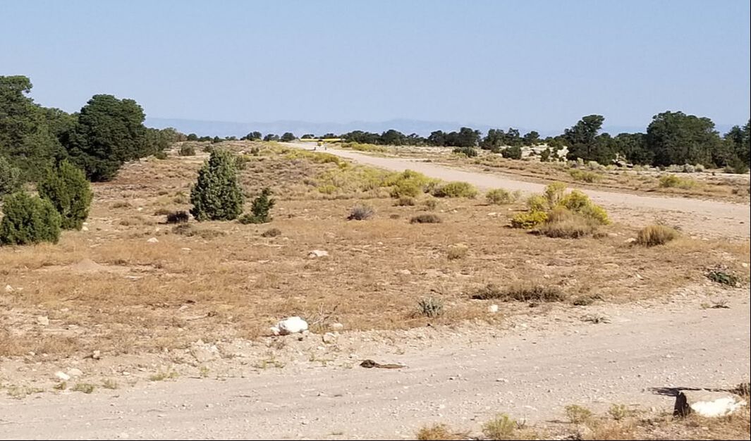 It’s important to keep in mind that Runway 15 ends with a 1,500 ft vertical drop and, I mean, it’s a sharp, shear drop. No Engineered Material Arresting System (EMAS) involved!! 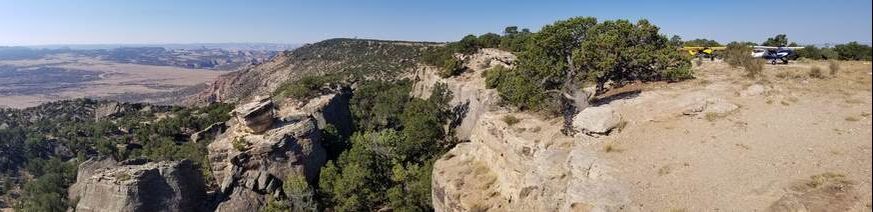 Do you see Utah's Yosemite in the distance? Here's a close up: 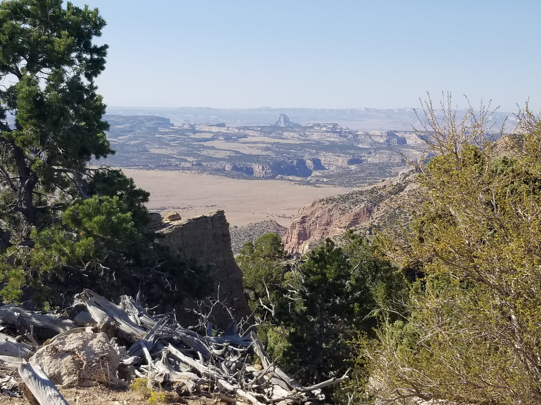 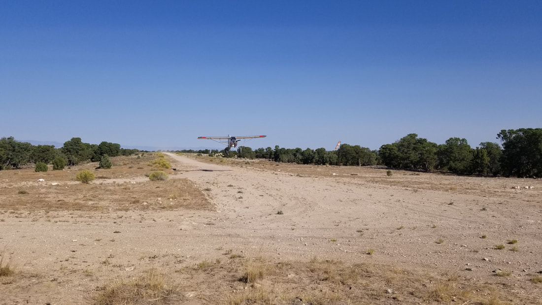 The flight from Cedar to Mexican Mountain was really pretty with red rocks, cliffs, towers, and canyons all around. It was mostly a descent, from the higher elevation Cedar to the lower elevation Mexican. 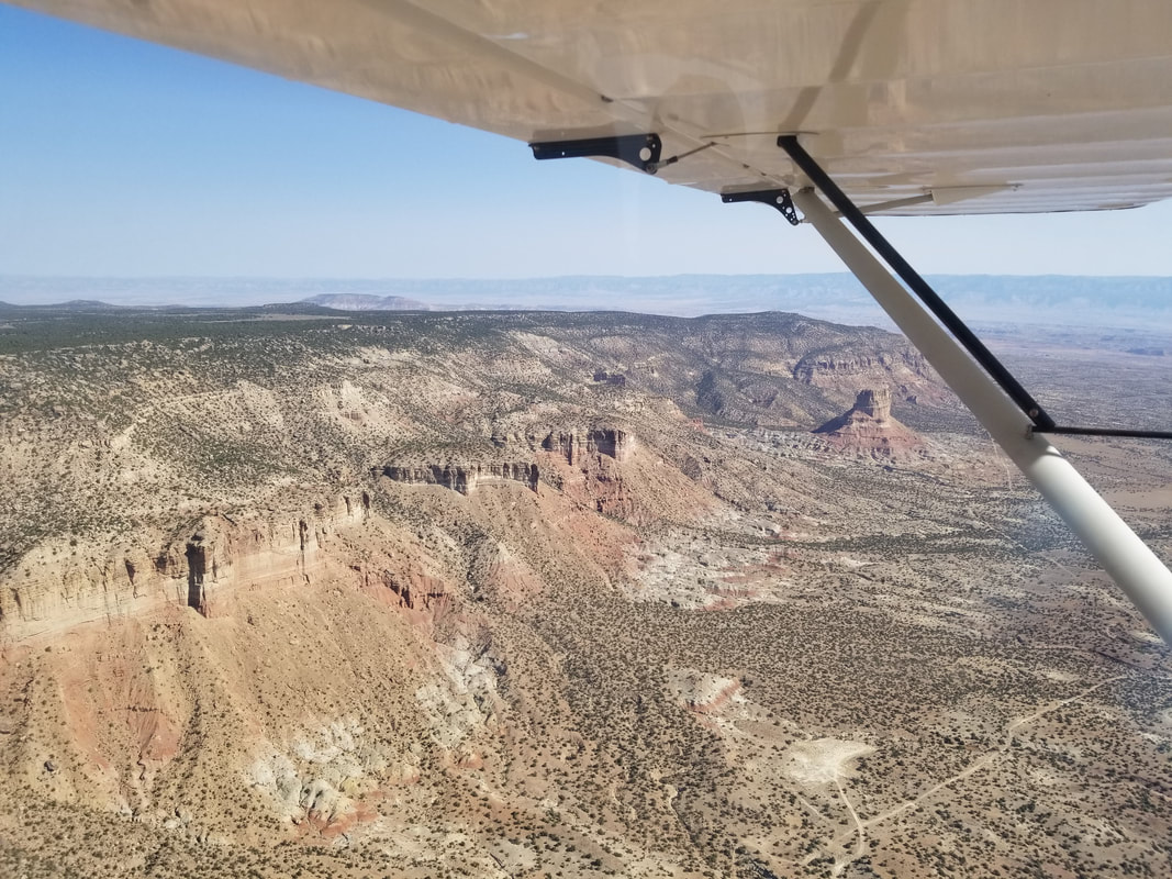
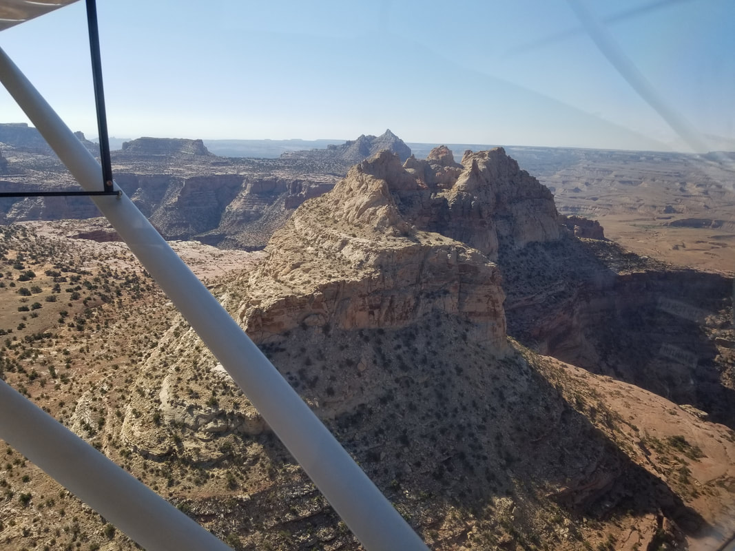
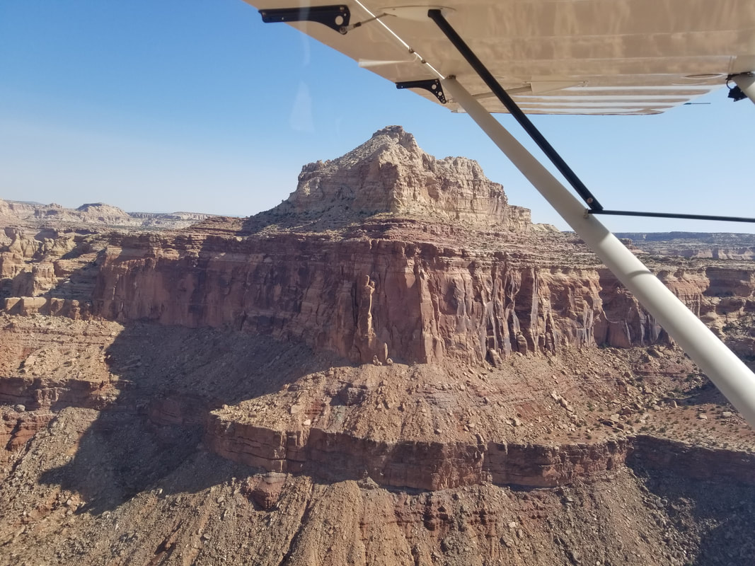
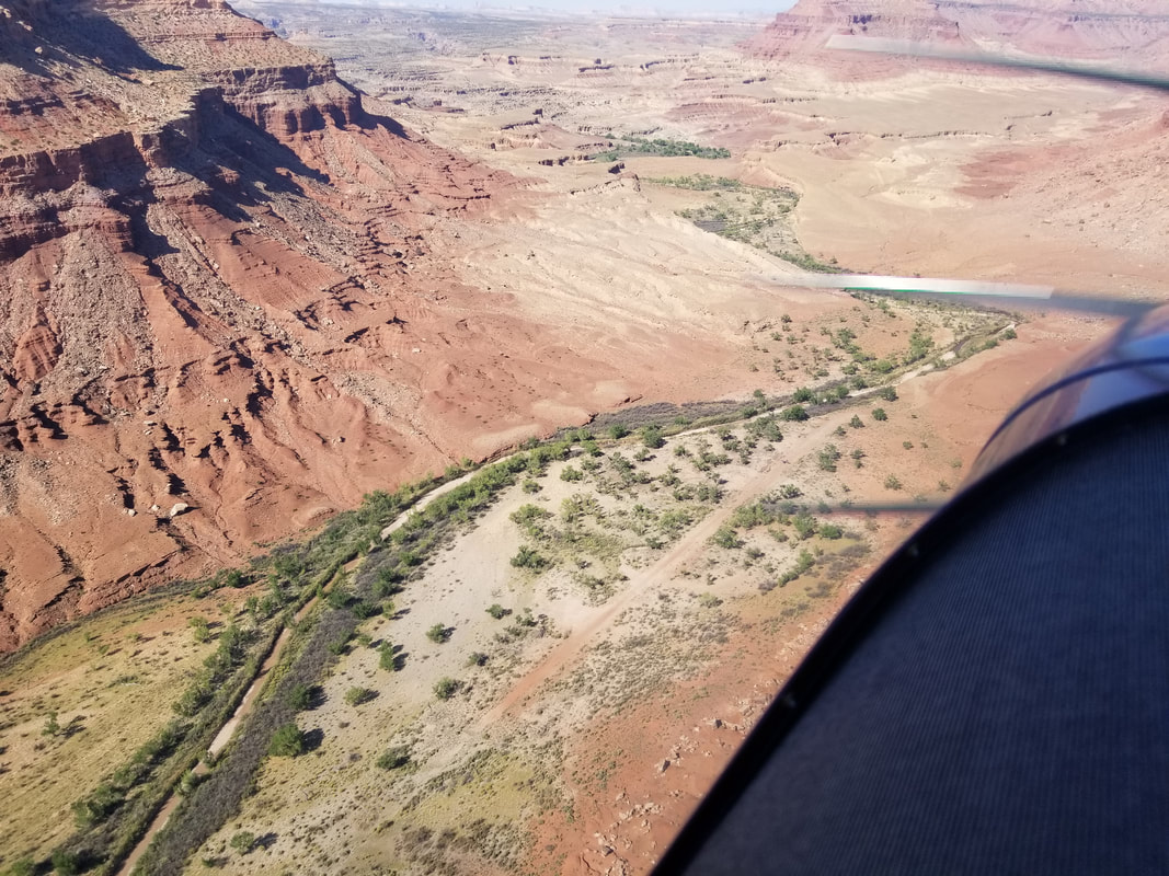
 Mexican Mountain is in sight: 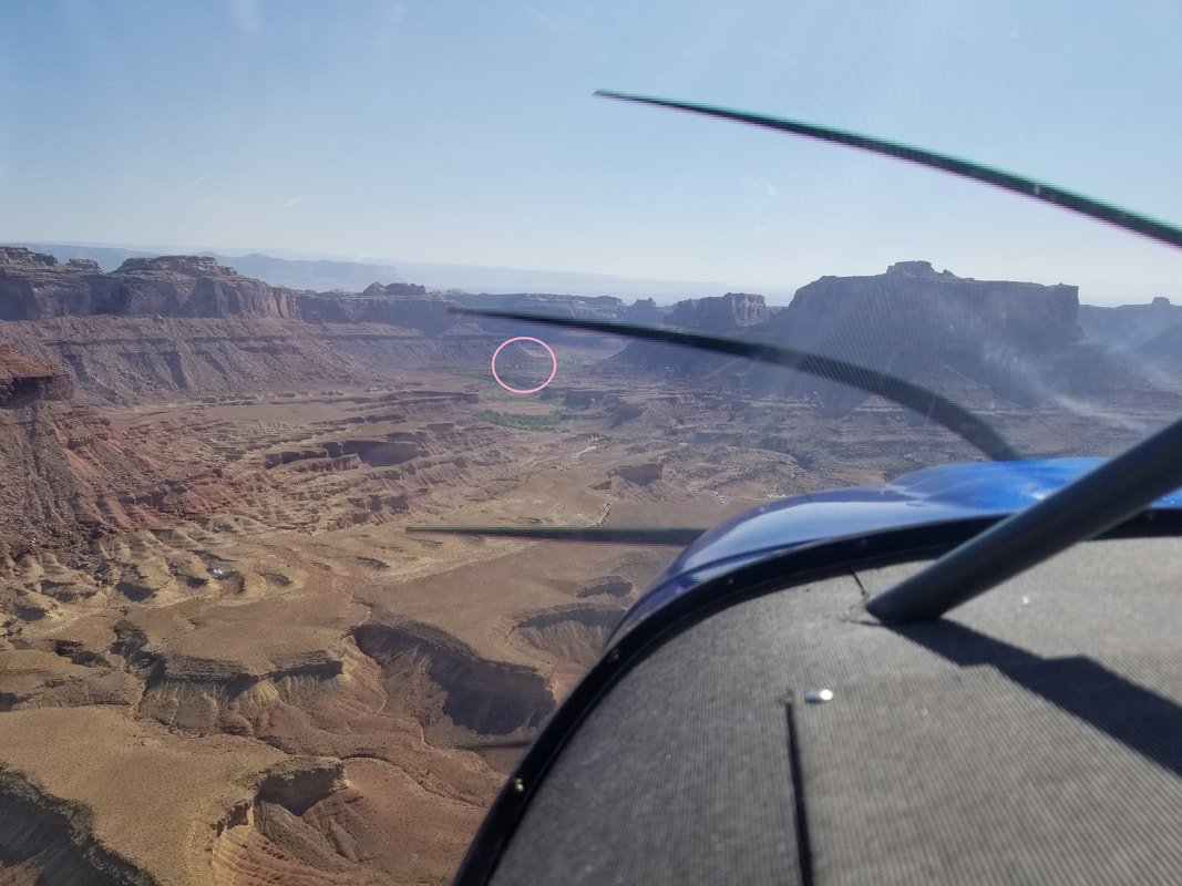 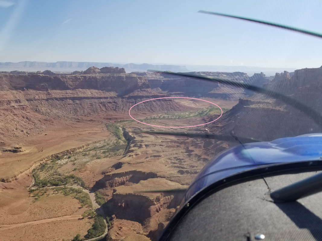 Mexican Mountain is at 4,461 ft elevation and its dirt runway 11/29 is 1,900 x 40 ft although it felt much narrower than Cedar because the sides are not as clear as Mexican’s. You can see this in the pictures provided. Winds were pretty calm but a recon flight over the field showed the windsock favoring Runway 29. So, we flew out and over the San Rafael River to make a left, 360-degree turn back. Note this turn is made inside the valley. We then flew a left downwind for Runway 29 so we could inspect, once again, the condition of the runway. However, to be able to turn base and final, one has to extend the downwind a bit to clear terrain. 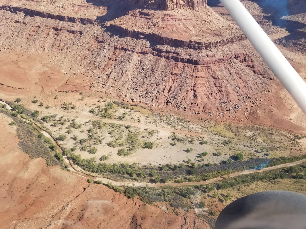 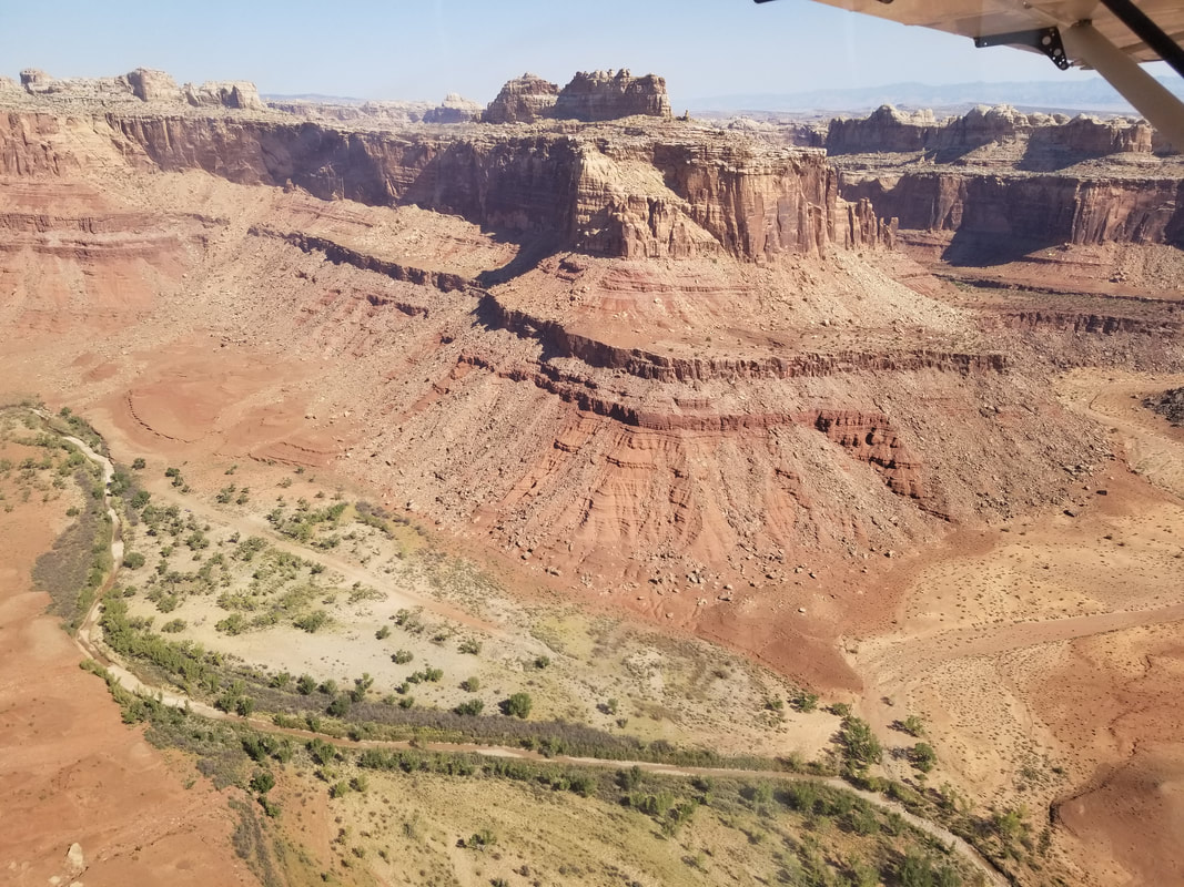
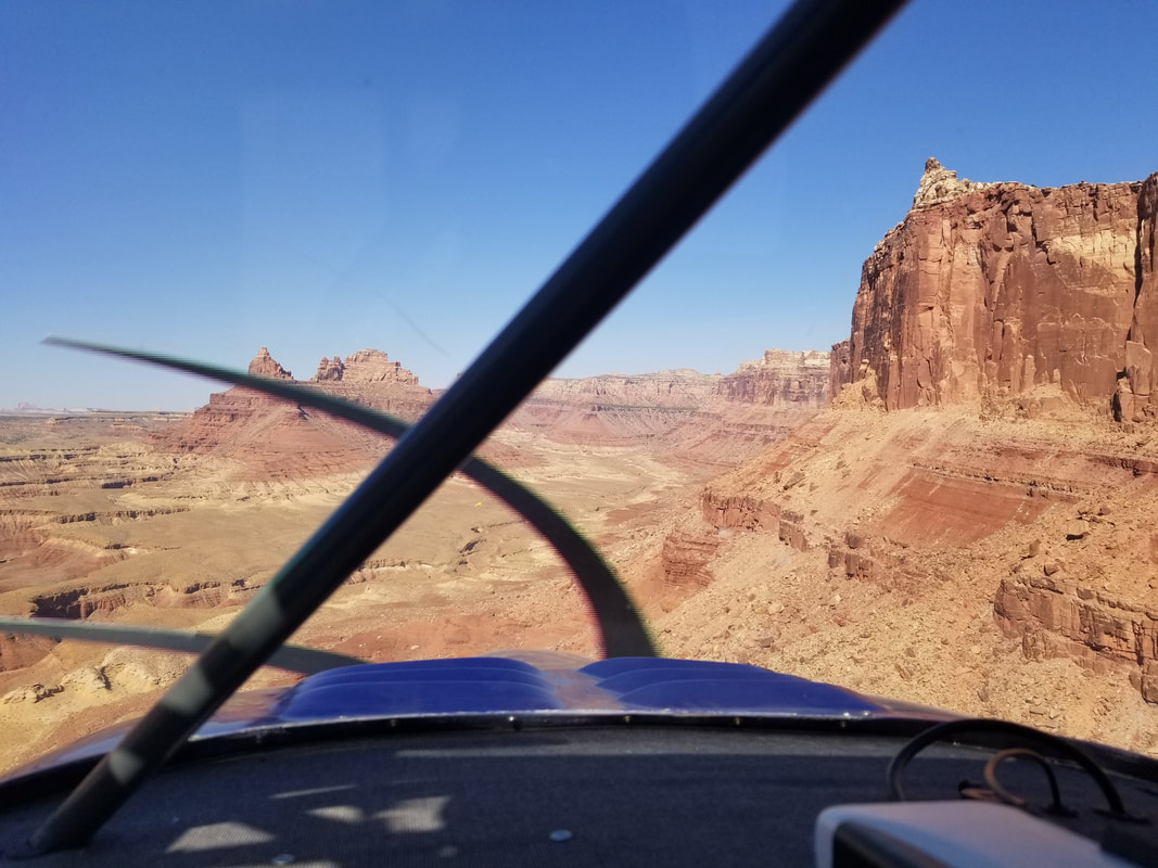
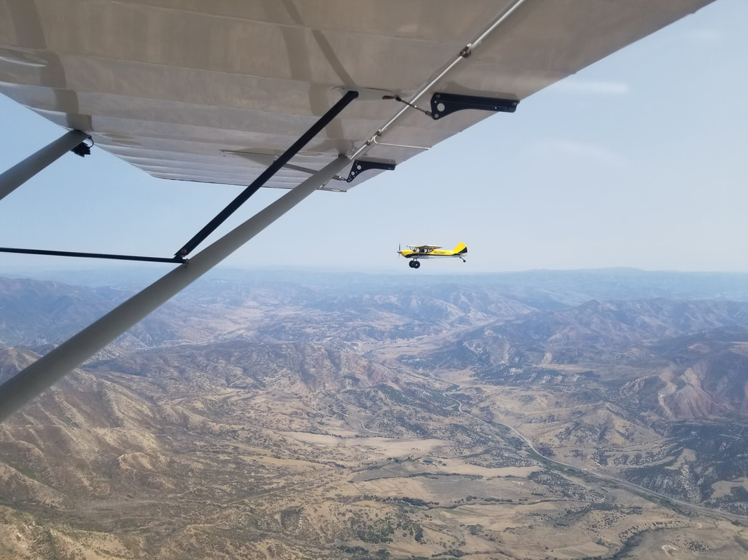
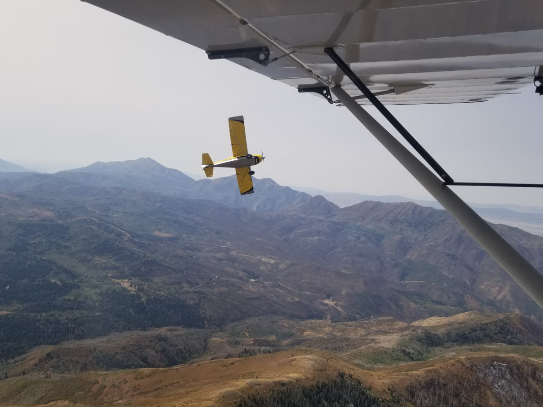
The landing was fairly sporty with trees and brush all around.  Taxiing to the parking area: 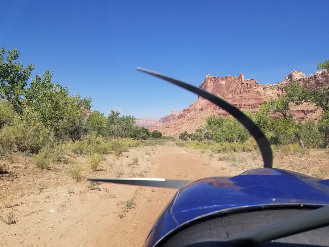 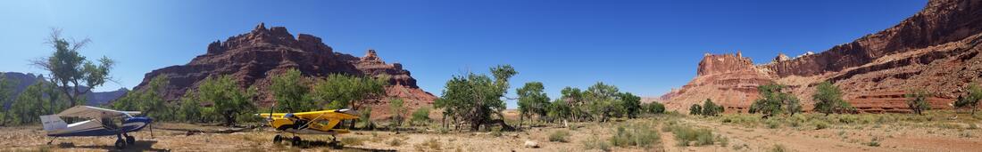 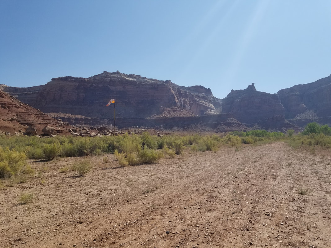 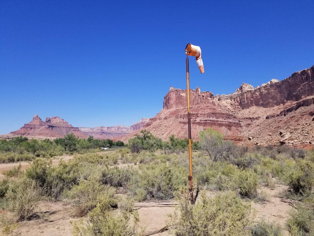 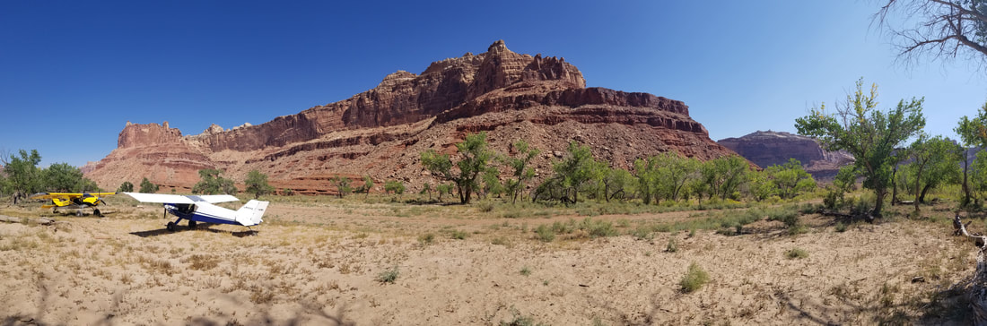 Once on the ground, we enjoyed a short walk to view several old Native American petroglyphs. And you have to wonder how many more there must be in the area… There’s a sign that tells a bit about the area’s history. 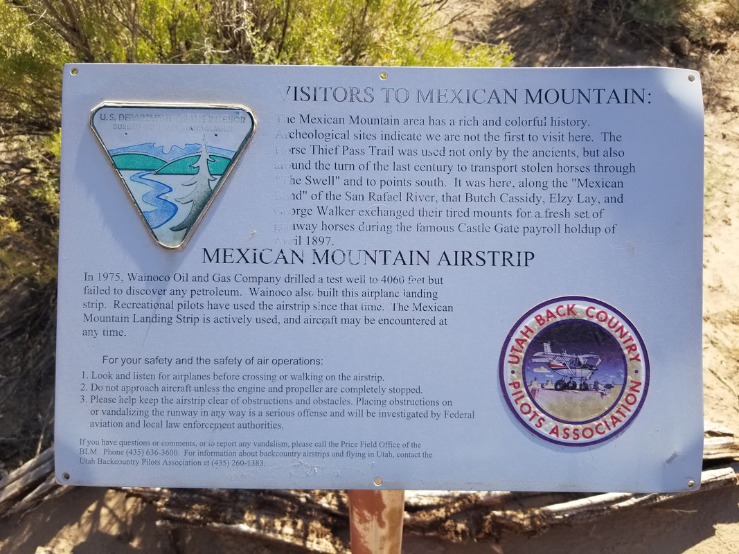 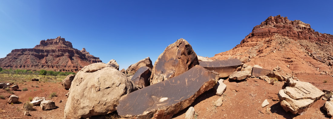 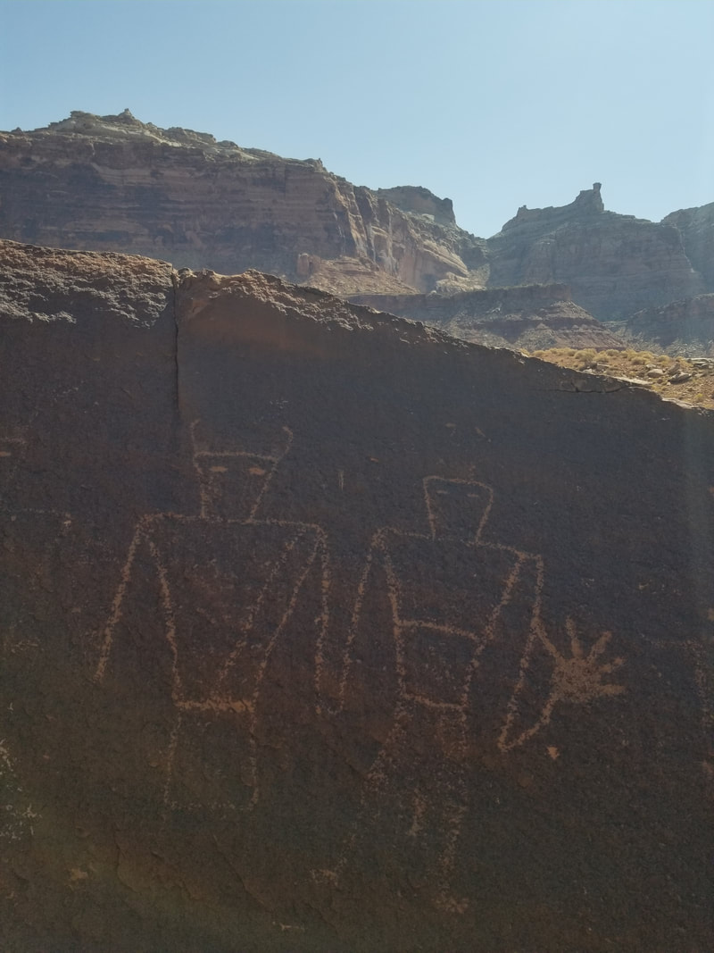 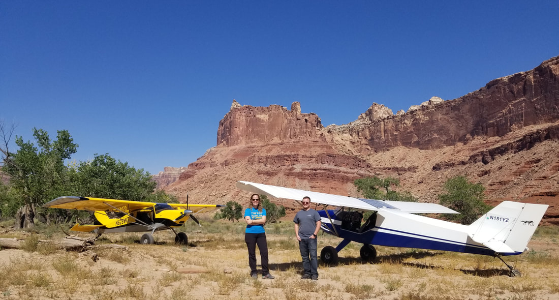 I could have spent a couple of days at Mexican Mountain. What a stunning place! But, we “beat feet” as Alina said, to remove dirt from our shoes, and we departed back to UT9 after a little while. 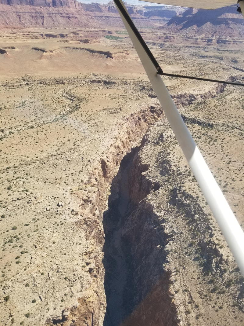 This area seriously looked like Monument Valley... 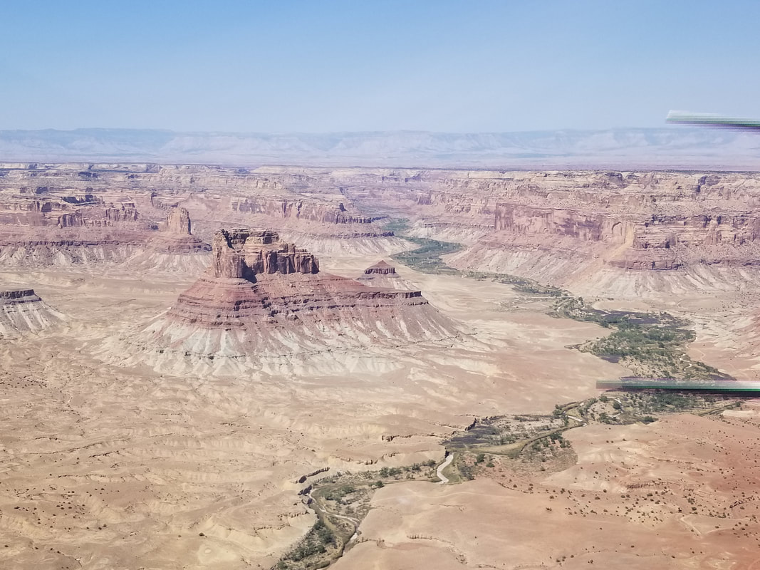 ... and Horseshoe Bend. 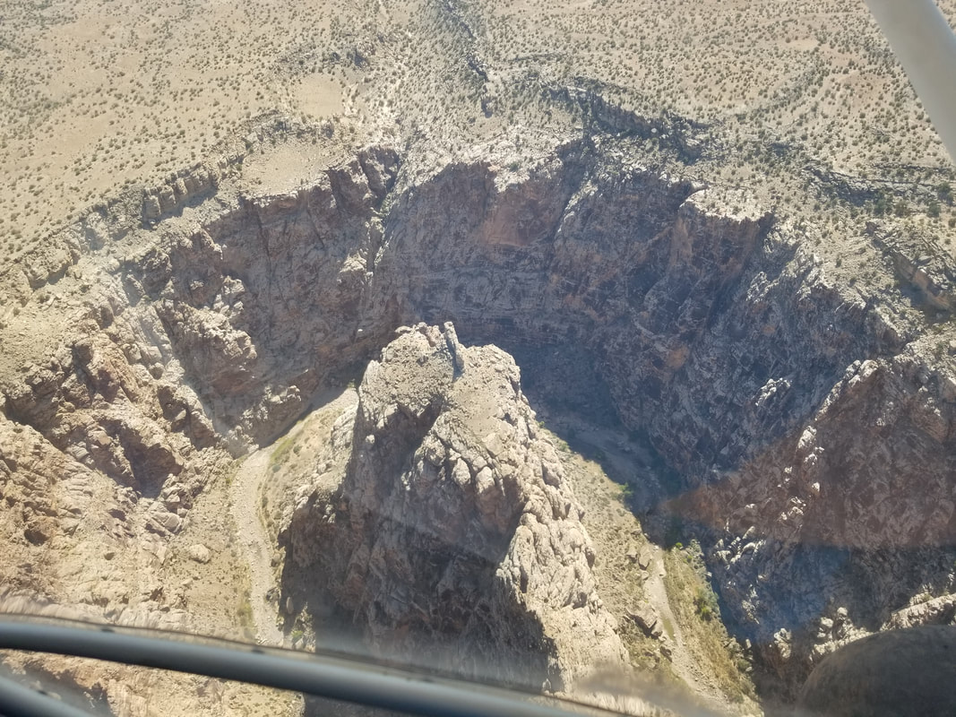 We also spotted some windows on the rock. 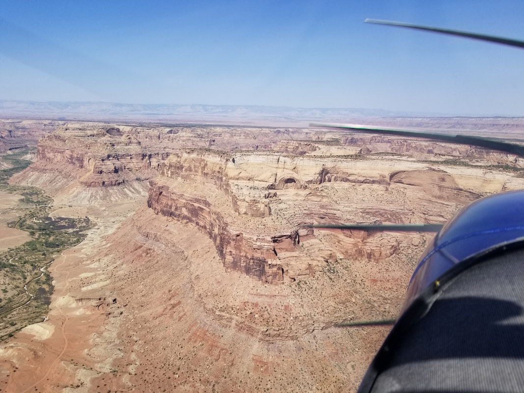 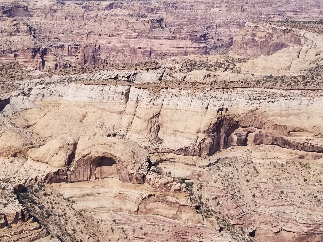 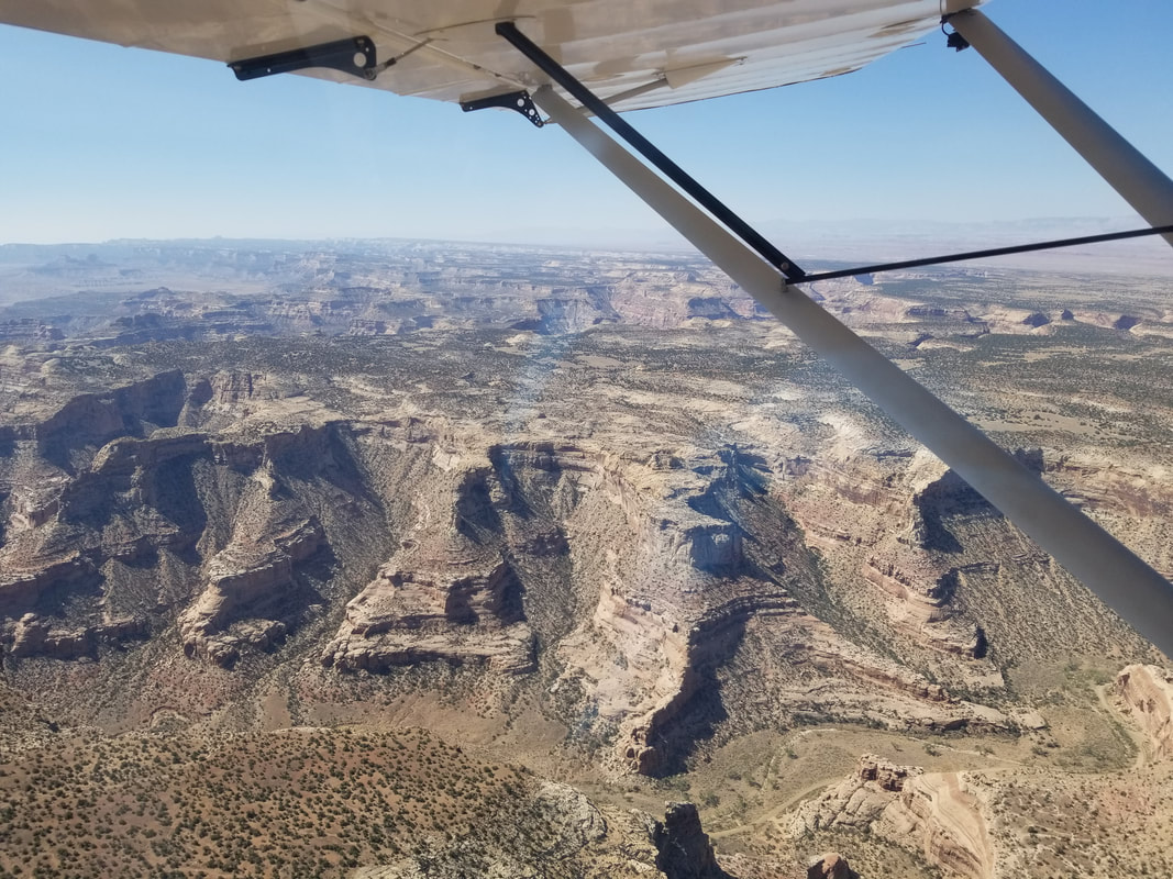 Huntington Municipal Airport (69V) in the distance and a good place for fuel although we didn't need it. 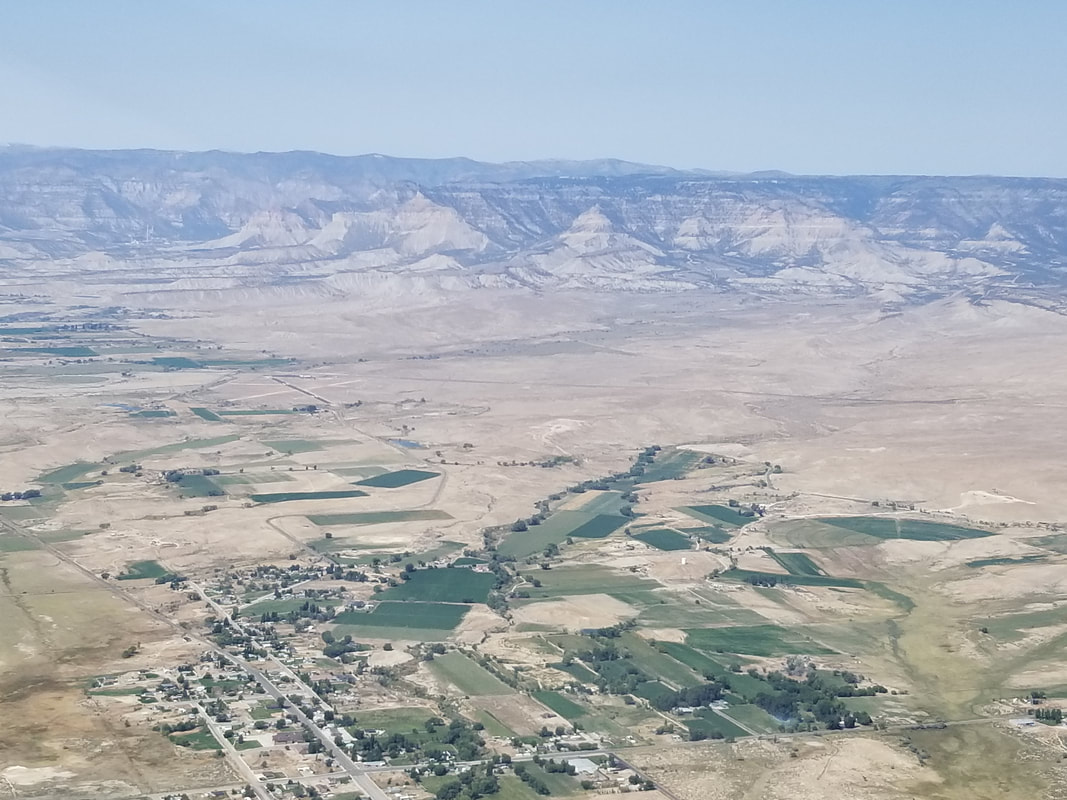 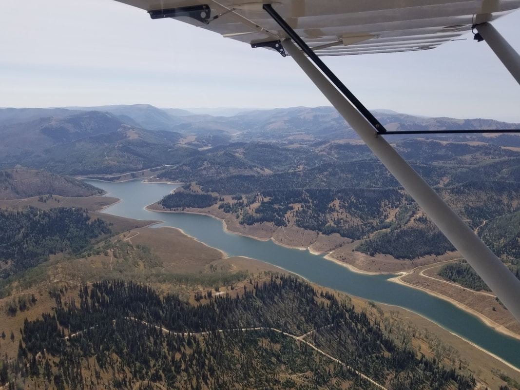 A little formation flying for the soul:
As you can see from both my description and the pictures, going to Cedar Mountain first was a good warm-up for the more challenging Mexican Mountain.
I would say that just about anybody with prior “soft” (meaning unpaved) field airfield experience can visit Cedar Mountain; however, Mexican Mountain requires backcountry/mountain experience and a capable airplane (airplanes with wheel pants, for ex, may not enjoy it too much). So, are YOU ready to fly in and “beat feet” on your way out? Or, if you can’t quite do that with your airframe, “stomp your feet together” as my niece would say, from a song she likes. Fly safe and fly often!
0 Comments
Leave a Reply. |
BLOGS ON THIS PAGE
- Experience Moab 360
- Richfield - One of the Best Places to Paraglide in Utah - Be-Utah-Ful! Backcountry Flying in Utah - Different Aircraft for Different Missions, SLC Style - Life Elevated® - Not Just Utah's Tourism Tag Line AuthorYasmina Platt ArchivesCategories |
 RSS Feed
